

TL;DR: Lala will be flirting with Hurricane force as it passes Hawai’i over or just south of the Big Island tomorrow. Atlantic stuff still blob like, maybe some rain/gusty winds in the Eastern Caribbean as Invest AL92 passes.
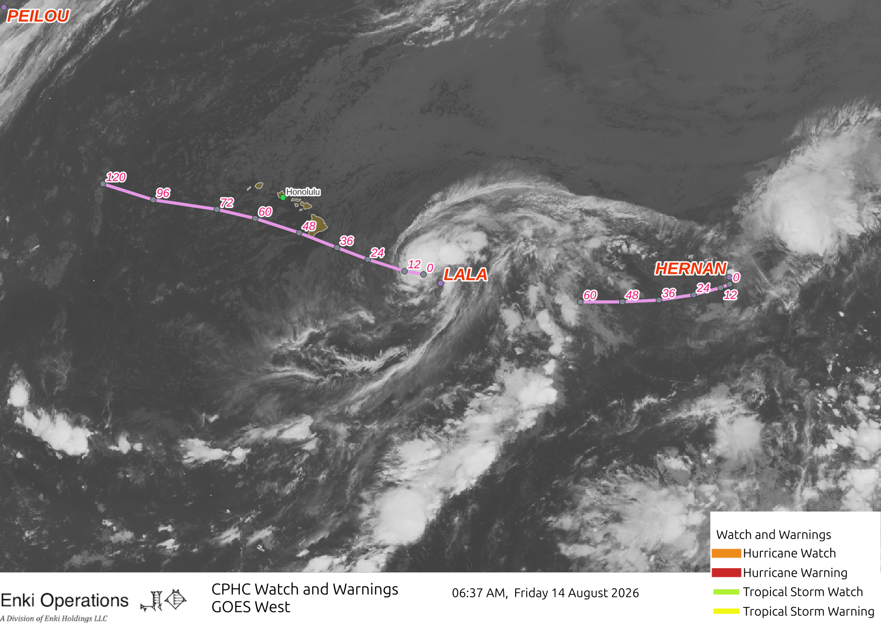
Tropical Storm Lala is about a day out from the Big Island, which is under a Hurricane Warning. Here are Central Pacific Hurricane Center’s Key messages regarding Tropical Storm Lala (en Español: Mensajes Claves). CPHC is being conservative with the intensity and forecasting Lala as being a hurricane as it passes. Most of the guidance is less than that, but it would be smart for folks there to plan on hurricane force winds, especially since there will be acceleration effects across the ridge lines and mountainous areas so uplands will likely see hurricane force winds; in fact, exposed inland areas will almost certainly see higher winds than the coast! Here’s the intensity envelope forecast …

The economic impact forecast in in the $100 Million range at the moment. A wobble north or slight intensity increase could easily double or triple that – likewise, a drift could cut it in half or more.

The blobs in the Atlantic are still blob-like. AL92 isn’t spinning up as NHC thought it might a couple days ago, now down to 30% chance. Still, might bring gusty winds and rain to the Lessor Antilles, and NHC advises the islands to “monitor.” AL94 at 50/50, depends on the track, will continue to watch.

The track models show scary colored lines across the Caribbean and EVEN TOWARDS LA FLORIDA!!ZOMG!! But you can safely ignore those for now, conditions just aren’t very favorable across the region. Former Tropical Storm Christobal is just that – former, although there is still model tracking of the remnant low.
