

Imelda is now past Bermuda, TD27W headed for the Philippines, TD01B in the Bay of Bengal, and blobs return to the Atlantic this morning.
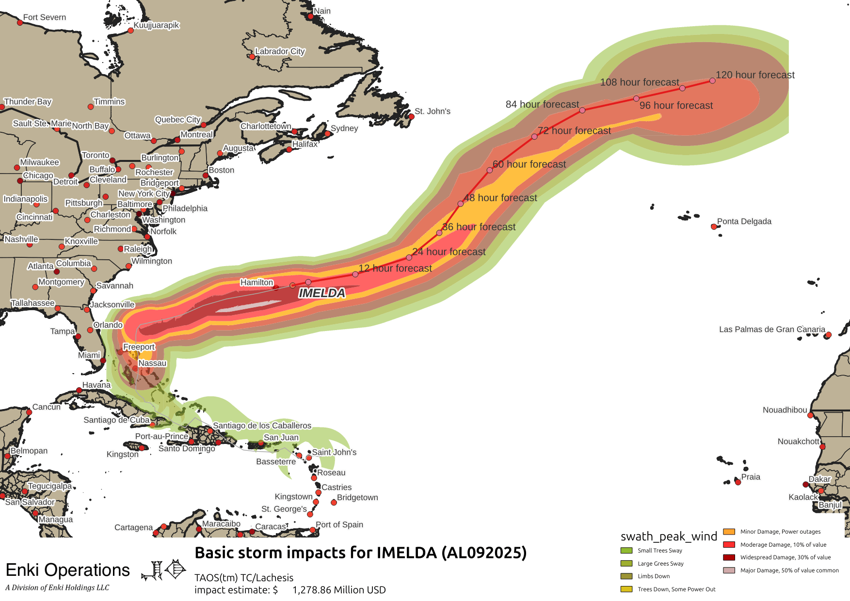
Here’s the quick wrap-up on Imelda, probably last “Key Messages” are: Key messages regarding Hurricane Imelda (en Español: Mensajes Claves). Total impacts likely in the $2 Billion range, with damage to the Outer Banks, as well as some impacts in the Bahamas and Bermuda. It should become extratropical later today …
Elsewhere, NHC has two new disturbances on the Outlook, neither have very high odds at the moment, and neither are invests:
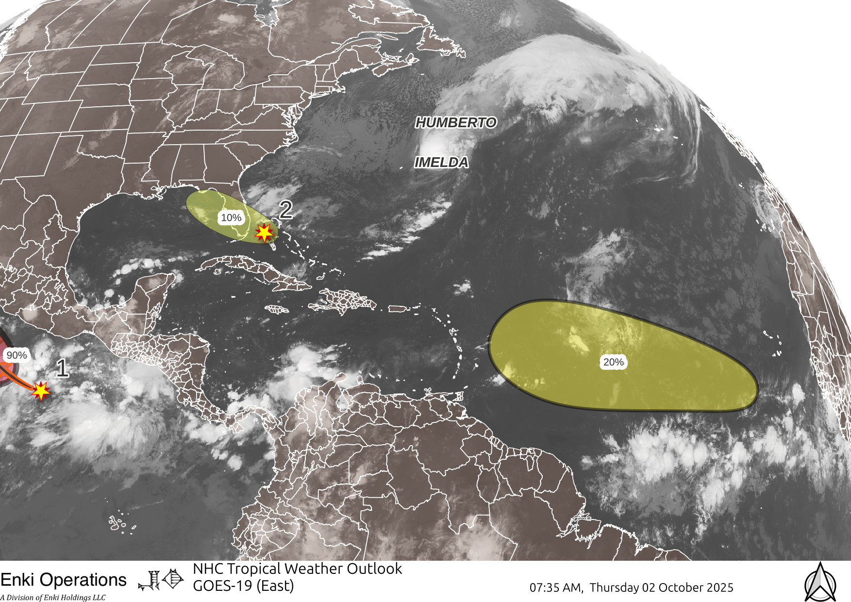
The system near Florida is a low potentially spinning up from the tail of the front that just passed through. Both GFS and the ECM AIFS models are showing low drifting across Florida into the Gulf, NHC has it at 10%, probably generous.
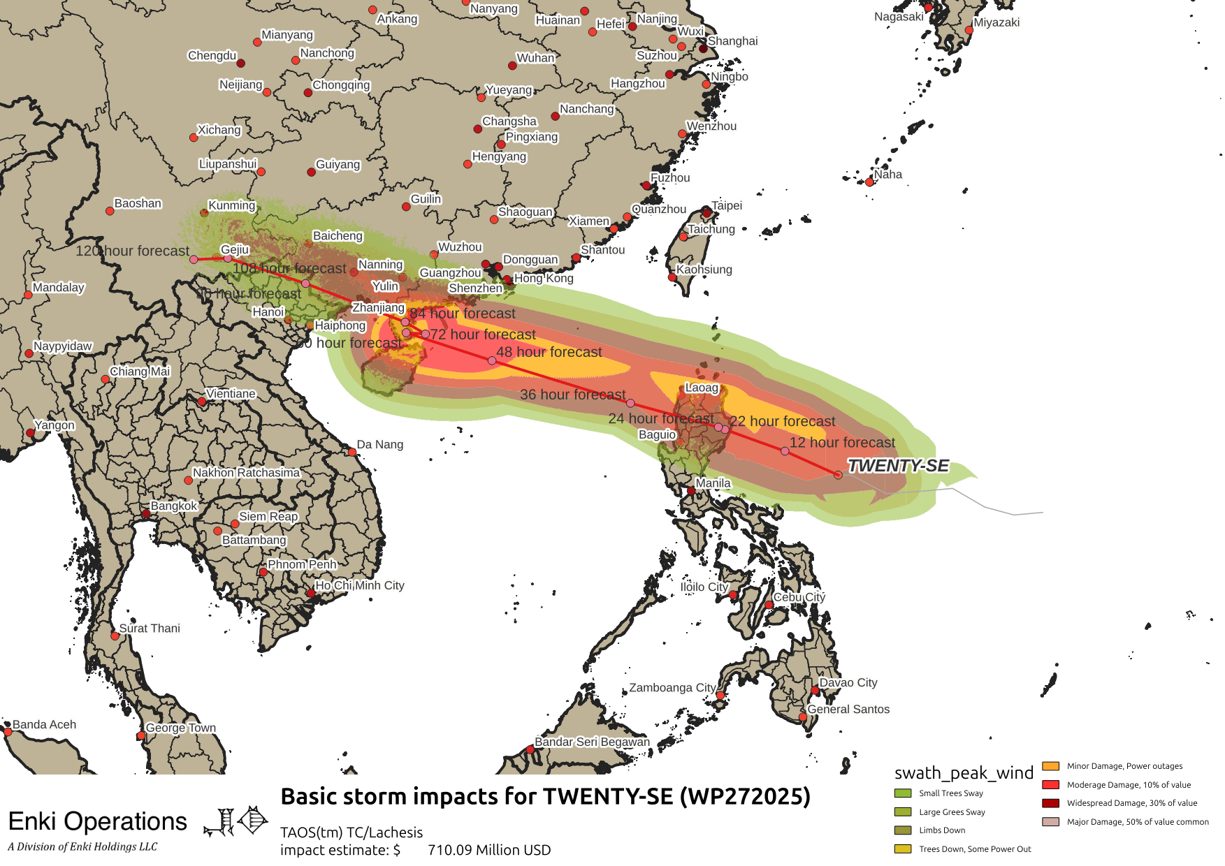
Elsewhere, The Philippines has another system tracking towards them, after multiple hits by typhoons and a major earthquake has killed over 70 this week:
The Bay of Bengal has a weak storm, not much more than rain and gusty winds …
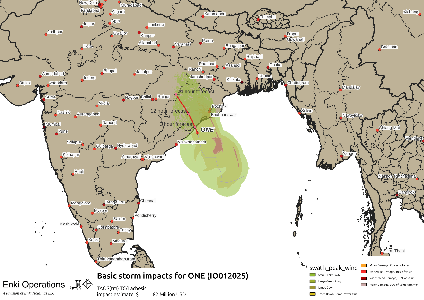
Shouldn’t have major impacts.
By far the best way to get this commentary is to subscribe to the emails, which is the only really reliable way to get them. The commentary should be expanding to winter storms and other stuff later this year. You can also donate to keep it going at this the same link, donations are responsible for the new automated maps which subscribers are getting previews for.
You can also follow us on X/Twitter (@EnkiResearch), Telegram, BlueSky, or even Facebook if that’s your preferred social media morass.
Thank you for your continuing, reliable updates!
Will Sunday-Tuesday be a return to deep August-like sogginess? The recently repaired pot holes in my subdivision cry out, “NO!” Seriously, thanks for the updates! My whole family is appreciative.
Rain Mon/Tue, but temperatures in upper 70s. not sure how potholes feel about that 😛