

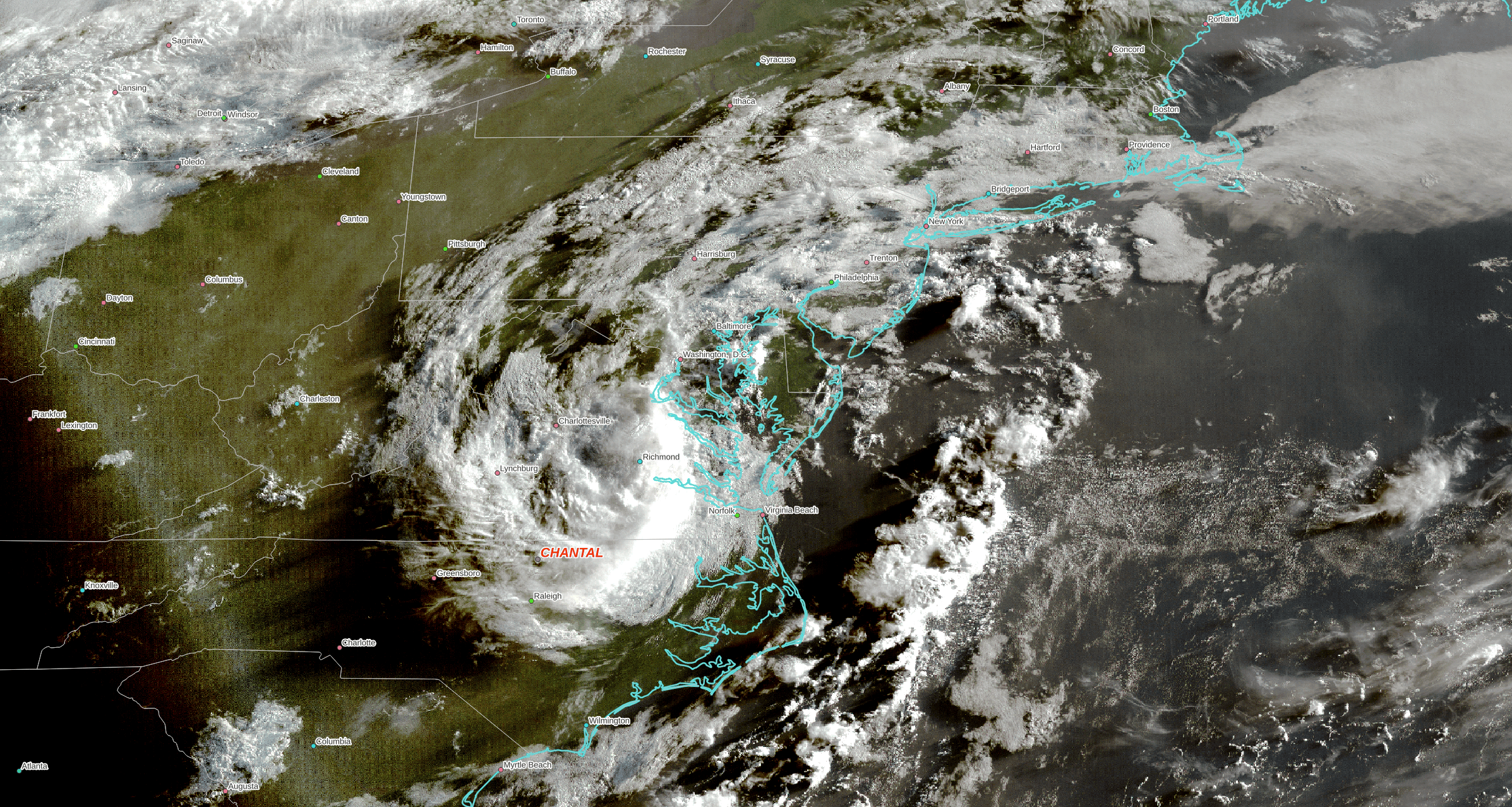
Brief follow ups on our two landfalling storms, Chantal is raining out over the central Atlantic states, causing some flash flooding, impacts likely $20-$30 Million USD. The remnants should move towards the northeast today …
Typhoon Danas made landfall on Taiwan yesterday as a Category Two hurricane on the Saffir/Simpson scale. Unusually, it made a direct hit on the West side of the island, which is normally protected from incoming storms. So far two deaths and 500 injuries reported, impacts are likely $5-$6 Billion USD. Danas should hit the mainland of China as a weak tropical storm today.

Still watching Texas, the rain should let up today and a few dry days should help recovery. If I have time will write about the finger pointing over warnings – as you might expect, as with the DMSP shutdown once again politics has swamped the real story that it isn’t really about one President or Party, it is systemic neglect and an overall decline in the system over decades.

Here is a link to an article from today’s WSJ that does a good job of explaining the special geographical and meteorological influences that make the Texas Hill Country prone to long periods of drought that are periodically broken by catastrophic rains and flash floods: https://www.wsj.com/us-news/climate-environment/how-terrain-in-texas-hills-turned-stalled-rainstorm-into-flood-disaster-d0049246?st=Wy3mrx&reflink=desktopwebshare_permalink