

Sorry about three posts/emails, but I get the sense people are scared about Milton. TL;DR: it’s spinning up, NHC now things it will become a major hurricane before landfall on the central Florida Peninsula Wednesday or so. No watches/warnings yet, but once it starts moving east (likely tomorrow) expect them late tomorrow at the latest. May be a side-swipe of the Big Bend area hit by Helene with some rain bands and gusty sub-tropical winds, but no real threat to the Helene disaster areas in Georgia or North Carolina for now.

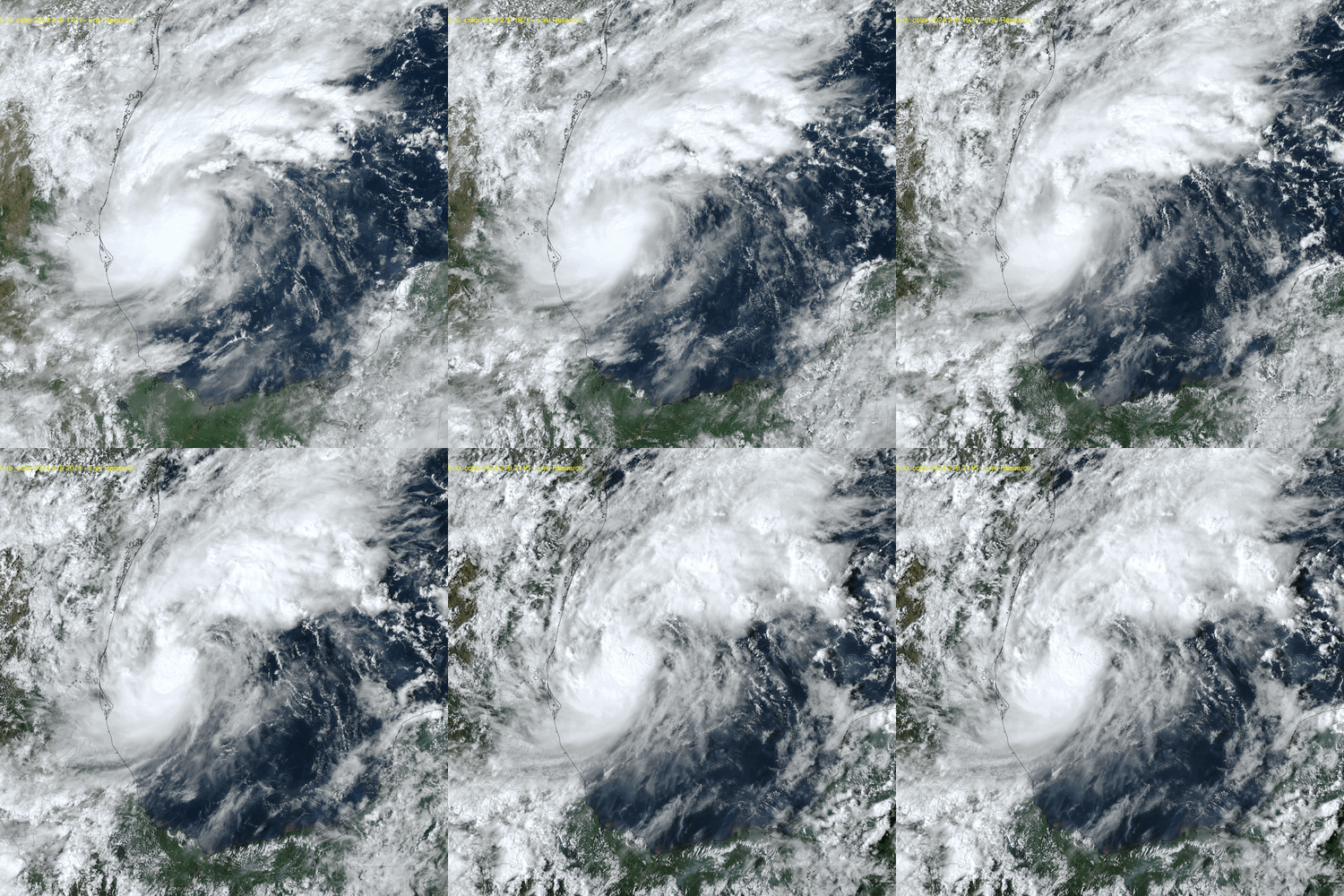
NHC started advisories on Tropical Depression 14 at 11:00am today, and upgraded to Tropical Storm Milton just two hours later based on satellite data. It does seem to be organizing faster, more in line with the latest GFS runs. That, and the fact the dedicated regional hurricane models, once they were initialized, have become extremely aggressive in spinning up Milton into a major (Category three or higher) storm before landfall has NHC rightly nervous. Here is the TAOS(tm) TC impact model run based on their 5pm forecast:

Early forecast guidance is pretty tight, given the rapid formation/intensification and the fact it hasn’t started moving east (it’s drifting north at the moment).

On this track and intensity the storm will be devastating, pumping up to 6 meters (20ft) of water in to Tampa Bay and flooding much of the Tampa/St. Pete area, as well as smashing Sarasota and surrounding communities, with significant damage as far south as the Naples-Port St. Lucie line. Given the rapid expected pace of the storm it will likely sweep across the I-4 Corridor and deposit hurricane force winds across the Orlando area an all the way to the east coast. While the primary run indicates damage in the $40-$50 Billion range, this could easily reach much higher impacts.
Next update Sunday morning. Note again there are no signs in the forecast at the moment that this storm will have significant impacts in coastal Georgia or South Carolina, or inland Georgia and North Carolina still recovering from Helene. It might brush the Gulf coast areas in the Big Bend with gusty wind and rain. The new HFSA and HFSB models are north of the official track, but until the storm turns east I expect wobbles and 100 mile shifts over the next 24 hours, so don’t panic and don’t chase the windshield wipers. Those in central Florida shouldn’t panic either, but should take this very seriously and if on the West coast, be prepared for evacuations. And the rest of the swath should be prepared to get ready for a rough ride.
Note: working the expanding Middle East conflict, trying to juggle both so please excuse any autocorrupt errors or typos.
Thank you for spending your weekend updating us! You are the best!
The Tampa Bay Area has had so many near misses that we are all probably still very much in denial. This would be a 1-2 gut punch. Our barrier islands were devastated by Helene’s storm surge and the contents of everyone’s flooded homes on the islands and tree debris inland are still sitting out on the curb, waiting to be turned into projectiles in a windstorm. Your level headed and educational posts are appreciated.