

So, should you be panicking? Buying out all the TP and Beef Jerky at your local stores? Since this is doomwatch, you probably know the answer:
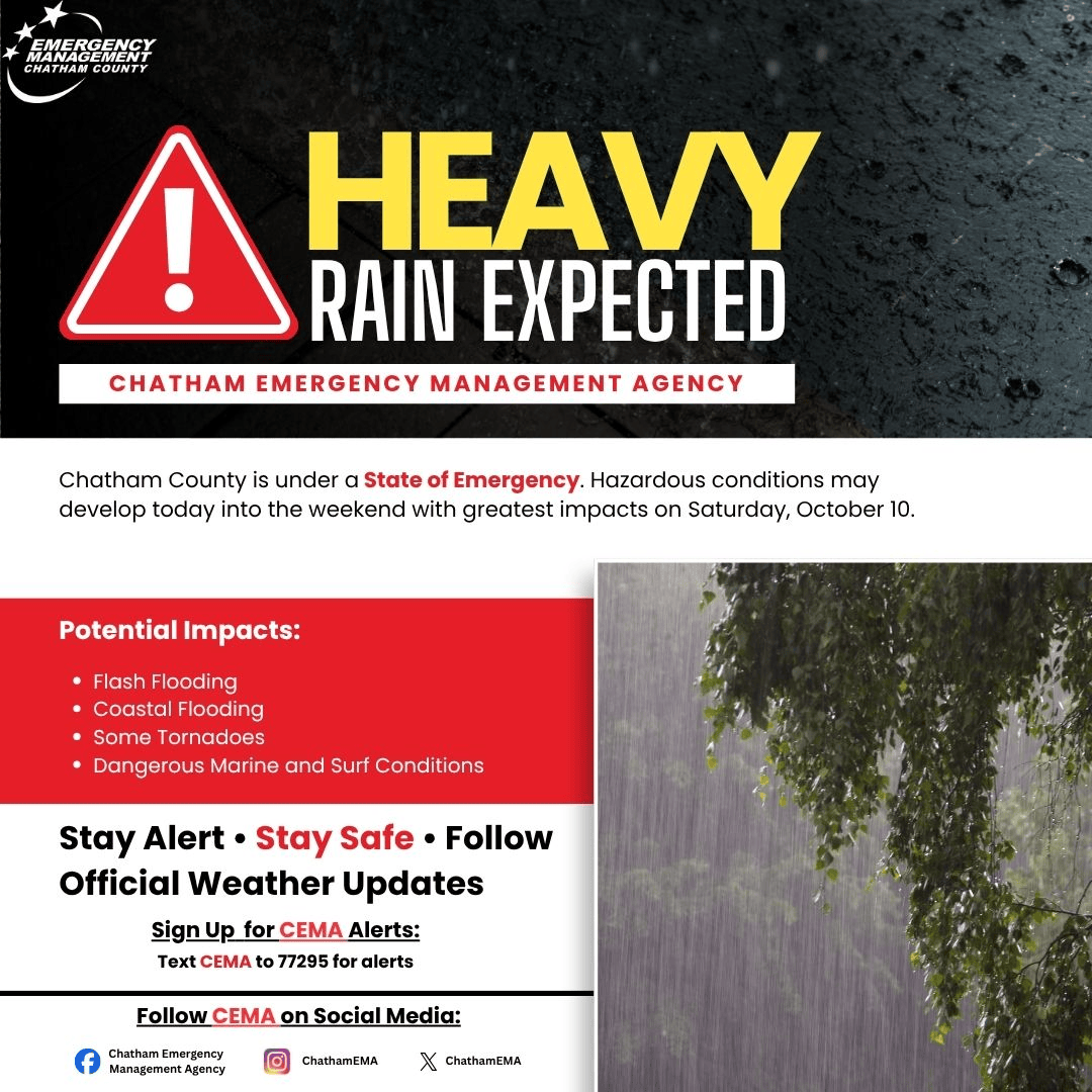
Yes, some heavy rain is expected over the next 36-48 hours, probably in the 2-3″ range, could be 4″, maybe a bit more out towards Tybee. That’s a lot, and the usual spots that should have been fixed forty years ago will flood like they always do.
The WSFO in Charleston doesn’t seem terribly excited about the impacts in Savannah. Here is their current discussion as of 11am:
Saturday AM: The tide cycle of greatest concern as gusty northeast winds could drive departures significantly higher through the early morning hours. The astro tide value for the Charleston Harbor is into Action Stage by itself, so, conceptually, gusty northeast winds could be sufficient to push the high tide to the 8 ft MLLW major coastal flooding threshold for the Charleston and Colleton County coastlines. Additionally, the threat for heavy rainfall will increase through the morning, potentially exacerbating flooding problems for Downtown Charleston. Further south, Minor to moderate coastal flooding is expected along the Georgia and Beaufort County, SC coastlines.
Saturday PM: Northeast winds begin to diminish, but elevated tidal departures persist. Minor to moderate coastal flooding likely for the Charleston area, with lingering rainfall again bringing the threat of compounded flooding impacts. Further south, high tide is most likely to remain below minor flood stage for the Savannah/Beaufort area.
Sunday AM: Southerly winds will bring significantly diminished tidal departures, though minor coastal flooding remains possible for the Charleston area.
So, that doesn’t seem so bad for Savannah/Chatham. Forecast peak at Fort Pulaski is 9.6ft Saturday morning. As a reminder what “minor to moderate coastal flooding” is like for Savannah, here’s the official word:
- 10 – At 10.0 ft MLLW, moderate coastal flooding occurs. Shipyard Rd will be impassable, isolating residents on Burnside Island. Water will start to encroach on HW-80 and as the tide gets closer to 10.5 ft MLLW, could begin to cover portions of the roadway. Flooding will expand on Tybee Island and Catalina Dr and Lewis Ave will be impassable. Flooding will also impact Wilmington Island, the Coffee Bluff community, Ossabaw Island, Sapelo Island, and portions of HW-17 south of Darien.
- 9.5 – At 9.5 ft MLLW, minor coastal flooding occurs. Flooding will begin to impact Shipyard Road to Burnside Island. Parts of Ft Pulaski National Monument will begin to flood, including several trails. Flooding will also begin to impact Tybee Island including Catalina Dr and Lewis Ave. In Bryan County, water could breach docks near Ft McAllister and flooding will impact portions of Mill Hill Rd. In Liberty County, flooding impacts the Halfmoon Landing area and Cattle Hammock Rd near Bermuda Bluff subdivision.
We get these levels of impacts fairly frequently, if you’re in an area that typically gets this kind of street or coastal flooding you know what to do.
So why the state of emergency? States of Emergency in modern US government often have little to do with the actual hazard or risk, especially when they are triggered before the event. They are mechanisms that allow governments to suspend normal contracting, permitting, and regulations. While that can be a good thing in allowing faster recovery from a real emergency, it’s also a golden opportunity for abuse to “get things done fast” that the normal process is designed to slow down. They also give politicians and apparatchiks the opportunity to strut around and look like they actually care about the proles.
I don’t know if that’s the case here, but an emergency declaration in advance for this type of event really feels like an over-reaction, based on the risk. In Western and maybe parts of North Georgia some advance prep is needed that would be easier with a SOE, but here it would have been more responsible to see how things develop tomorrow, and then react as necessary. Putting the entire State of Georgia under an SOE wasn’t needed.
Thank you for this update
It had me chuckling
Be well