

Isaias continues to hold together, although the wind shear should start to tear it apart any hour now. Here’s the latest satellite:

And here’s the radar composite, the eye wall is obscured on satellite but still visible:

The shear may not be in time to prevent significant damage to the area around landfall. Here are the latest Key messages regarding Hurricane Isaias (en Español: Mensajes Claves), and here’s the latest swath map based on the 5pm update; click either to embiggen.
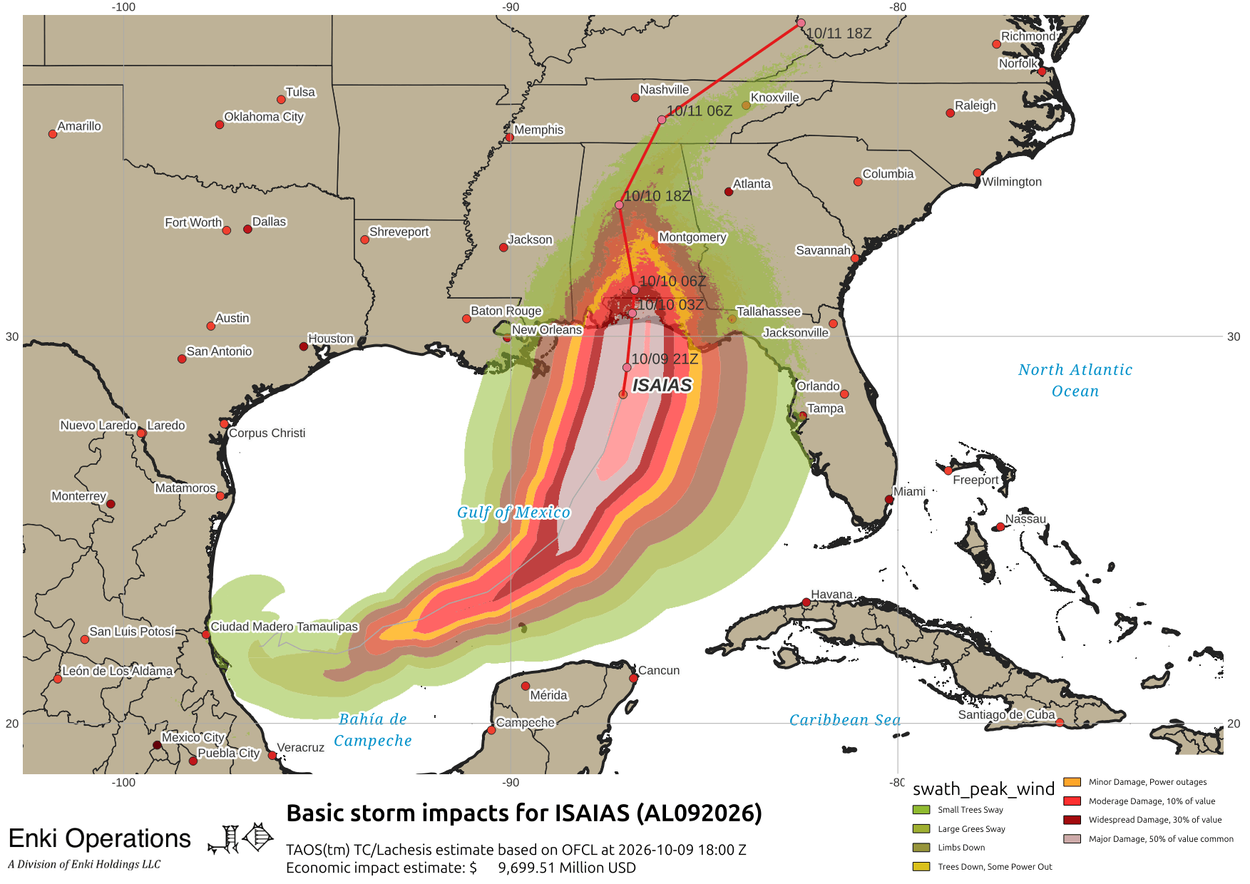

As Isaias makes landfall this evening, virtually the entire southeastern US is under some kind of wind or flood watches or both …

For Georgia/SC, not much has changed. Tonight will be increasingly gusty with periods of rain. The heaviest rain should stay confined to the coast, more of a risk in SC that GA. There is a risk of tornadoes as always with landfalling storms (especially soon-to-be highly sheared systems), but important not to exaggerate that risk. The blog posts earlier today seem to be on track.
At this point we’re in “wait and see” mode.