

NHC forecast didn’t change much at 5pm: Key messages regarding Hurricane Isaias (en Español: Mensajes Claves)
Eye trying to form …
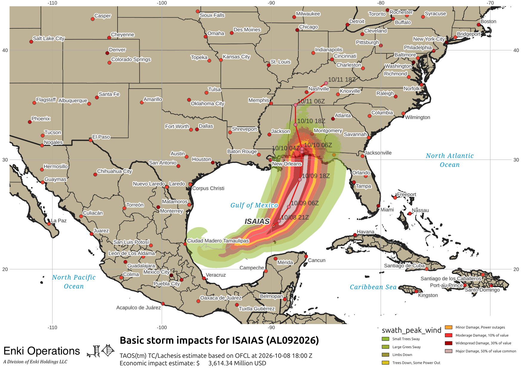
Intensity should top out soon as the “wall of wind shear” is looming ahead, and is already starting to mess with the circulation. You can see the circulation of Isaias, and the colored wall just ahead. Hopefully it will tear up the worst of the storm before landfall … but gusty winds and rain will be felt all the way to South Carolina. Nothing dangerous, just inconvenient (just don’t do any Lt. Dan cosplaying).
