

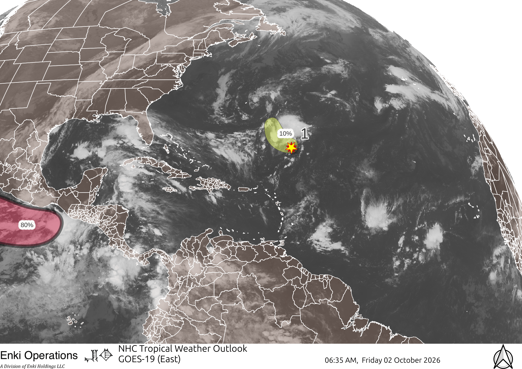
Atlantic remains boring, one small disturbance with little chance of being a problem:
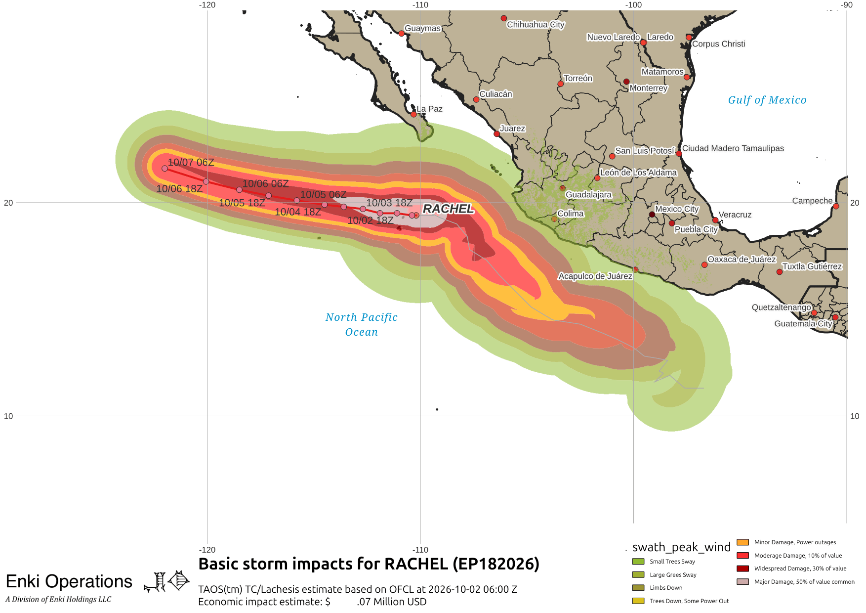
In the East Pacific, Hurricane Rachel has started turning away from Mexico and is heading out to sea after beating the coast with rain and waves.
Nolo is well past Hawaii now, and the Islands are getting a bit of a break …

The storms have had a lot of impacts on Hawai’i, not just damage to human infrastructure. Nature has taken a hit this year as the famous Hotel Arch at Hawaiian Volcanoes National Park has collapsed. It got quite a beating this year from both direct hits and storm passing to the south of the Big Island that hit it with high waves.
Continuing west across the Pacific, Tropical Storm Choi-Wan should become a Typhoon and rapidly intensify as it leaves the Northern Marina Islands and headed north …
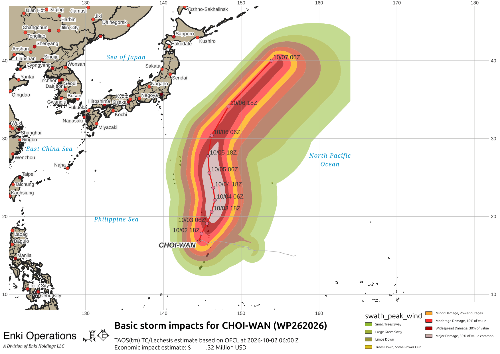
It should stay away from Japan. Across the northern hemisphere, winter patterns are setting up and the tropical season should wind down. Here is what the wind shear looks like in the West Pacific, especially note the protective band across Japan:

In the Atlantic view, you can see the front currently in the central US moving towards the coast, and the remnants of a previous front offshore …

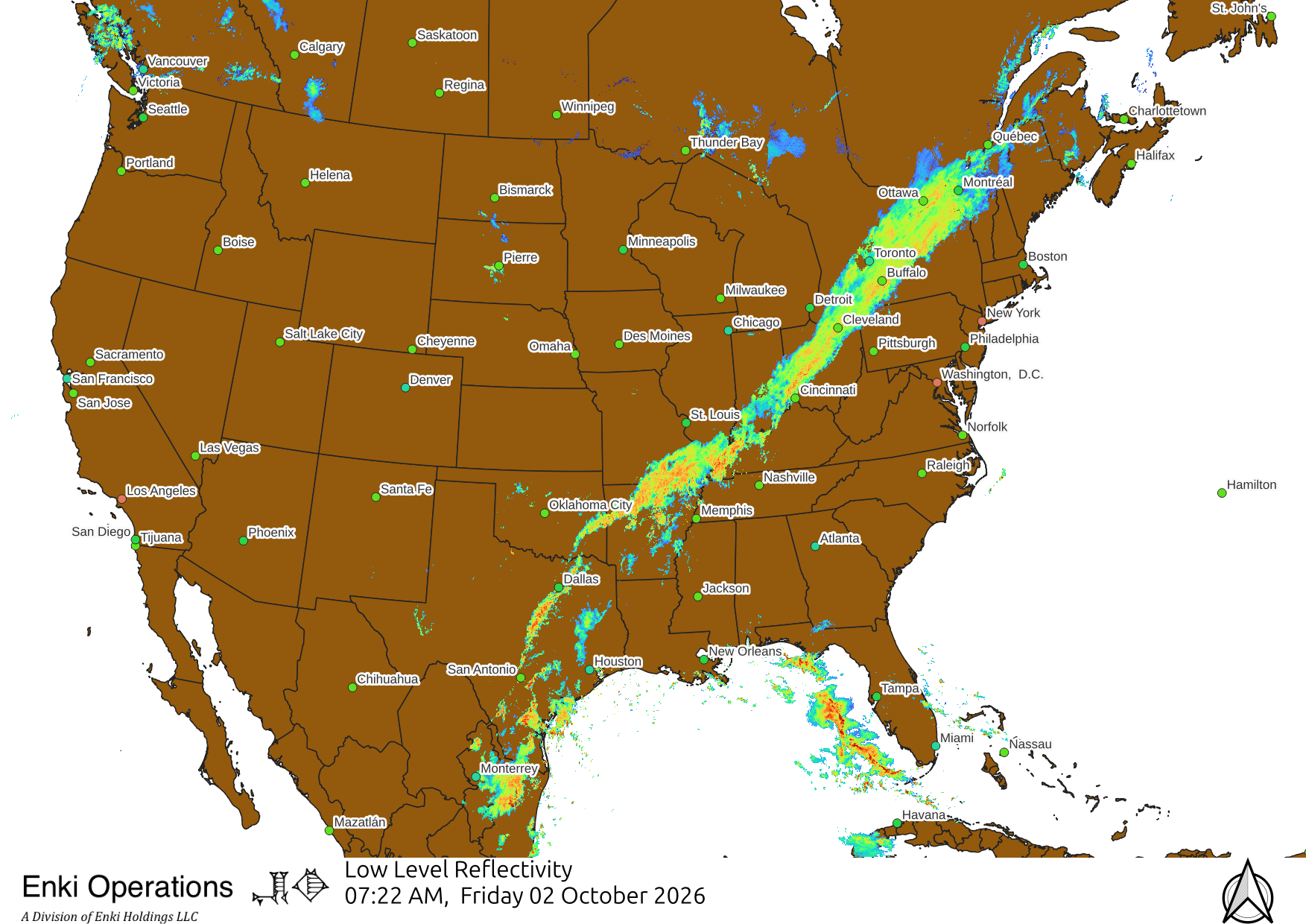
Speaking of the front, although it is now October there is a lot of convective action it it. Here’s the radar and the MRMS assessment of what kind of rain is in it – notice “tropical convective” even up in Maine, unusual for this time of year …

If you appreciate the blog, the best way to get it is to subscribe to the emails. You can subscribe and also donate to keep it going at this link. Many thanks to those who have contributed!
You can also follow us on Musk’s Madness X/Twitter (@EnkiResearch), Telegram, or BlueSky, but email is the best way.