

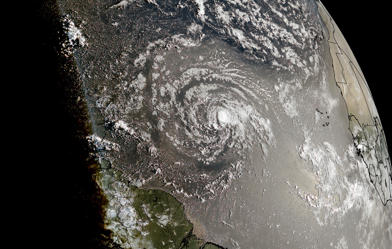
Tropical Storm Dolly is a small area of convection in the midst of a broad pinwheel of clouds on the visual satellite image as the sun rises over the Atlantic this morning:
There has been almost no change in the forecast since yesterday. Here are teh National Hurricane Center’s Key messages regarding Tropical Storm Dolly (en Español: Mensajes Claves). Dolly is expected to weaken today and by the time it reaches the leeward islands and Puerto Rico it will have degenerated to an open tropical wave.
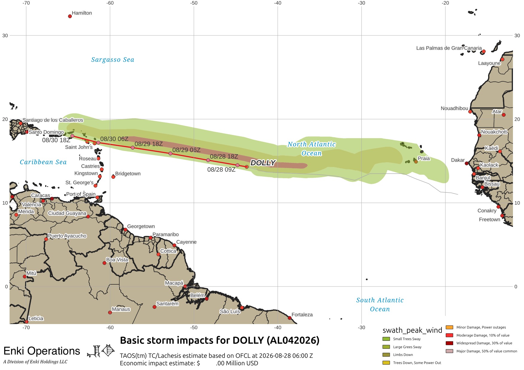
The hope is that Dolly will drop some much needed rain across the region. The fear is that, being a tropical system, it will be too much too fast and flash flooding will result. This is why NHC recommends that those in the path “monitor” the storm and if in flash-flood prone areas, especially in the mountains, prepare for possible impacts.
Some are making noise about the longer range tracks, and even a regeneration in the Gulf, but that’s just crazy talk at this point (and probably ever). The models continue tracking the low long after it has ceased to be a serious system. Here are the tracks …

And here is the model intensity forecasts, which are probably exaggerated at this point. The black line is the official forecast.

Elsewhere, the various weather agencies are tracking seven tropical systems …

The only other one of interest is Typhoon Saudel, now a decaying tropical storm after making landfall in China yesterday.
If you appreciate the blog, the best way to get it is to subscribe to the emails. You can subscribe and also donate to keep it going at this link. Many thanks to those who have contributed to keep the blog going!
You can also follow us on Musk’s Madhouse X/Twitter (@EnkiResearch), Telegram, BlueSky, or even Fakebook if that is your preferred social media quagmire. But be aware that social media algorithms don’t like to show you posts in chronological order. They “upgrade” sensationalist material, and “downgrade” posts that have outside links in order to keep you on their platform, so it’s not a great way to get weather warnings or news (or anything other than a variety of psychiatric symptoms for that matter).