

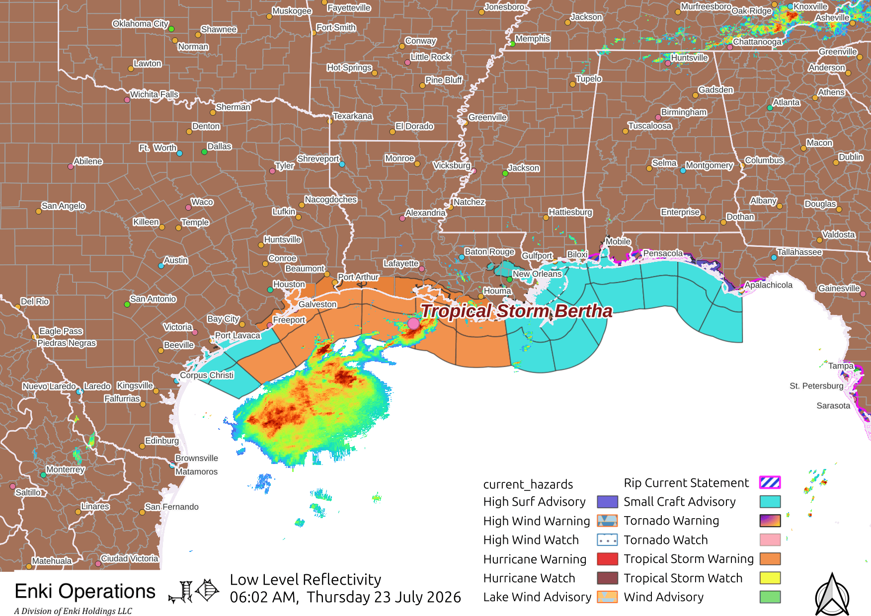
Bertha made landfall in Louisiana yesterday, but as noted virtually all of the adverse effects were well offshore in this highly sheared, asymmetric system. Not seeing any reports of serious damage. Warnings are now shifted towards Texas, the cluster of thunderstorms southwest of the center of the circulation will make landfall first and the rest later today. Just looks breezy with scattered showers across most of the warned areas, unless you get caught in a bad thunderstorm cell Bertha should continue to be no big deal. Here’s the current watches and warnings on the radar map:
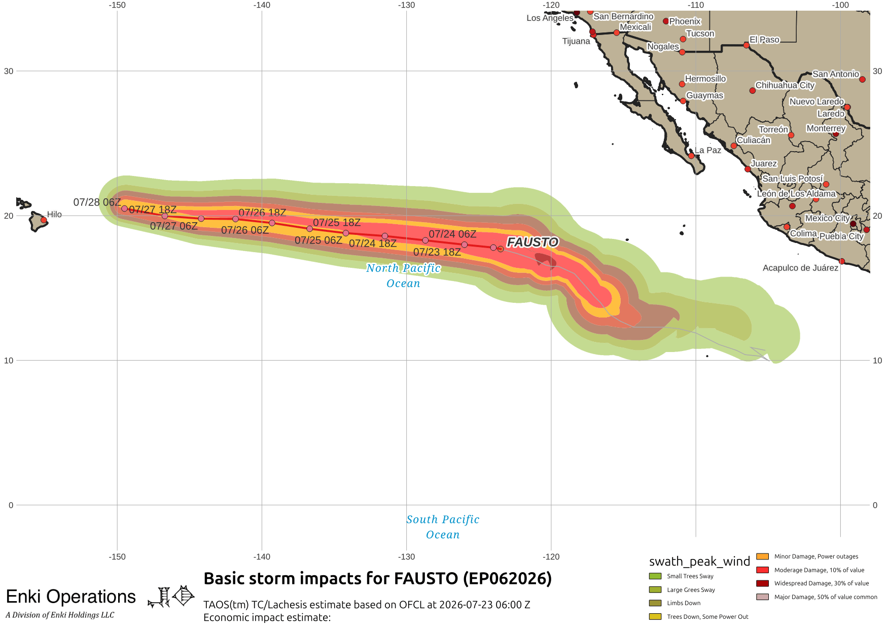
Elsewhere, watching Hurricane Fausto in the East Pacific …

It looks like it is headed for Hawai’i, but it should be weak to non-existent by the time it gets in that neighborhood, if it survives that long – conditions are not favorable.
Tropical Depression Eleven has formed in the West Pacific, tracking and forecasts should be out soon …
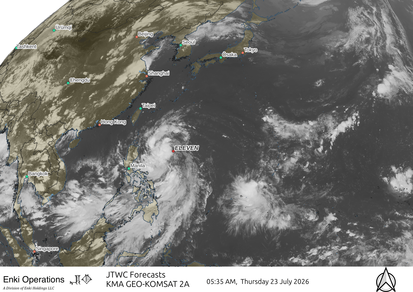
Headed to brush the northern Philippines then onward to China.