

TL;DR: Tropical Storm Jangmi may strengthen into a Typhoon before sweeping across Okinawa and southern Japan, probably as a tropical storm. There is an area of interest in the East Pacific far from land. Random rain in Savannah again – maybe you got 0.2″, maybe 2.0″, maybe nothing.
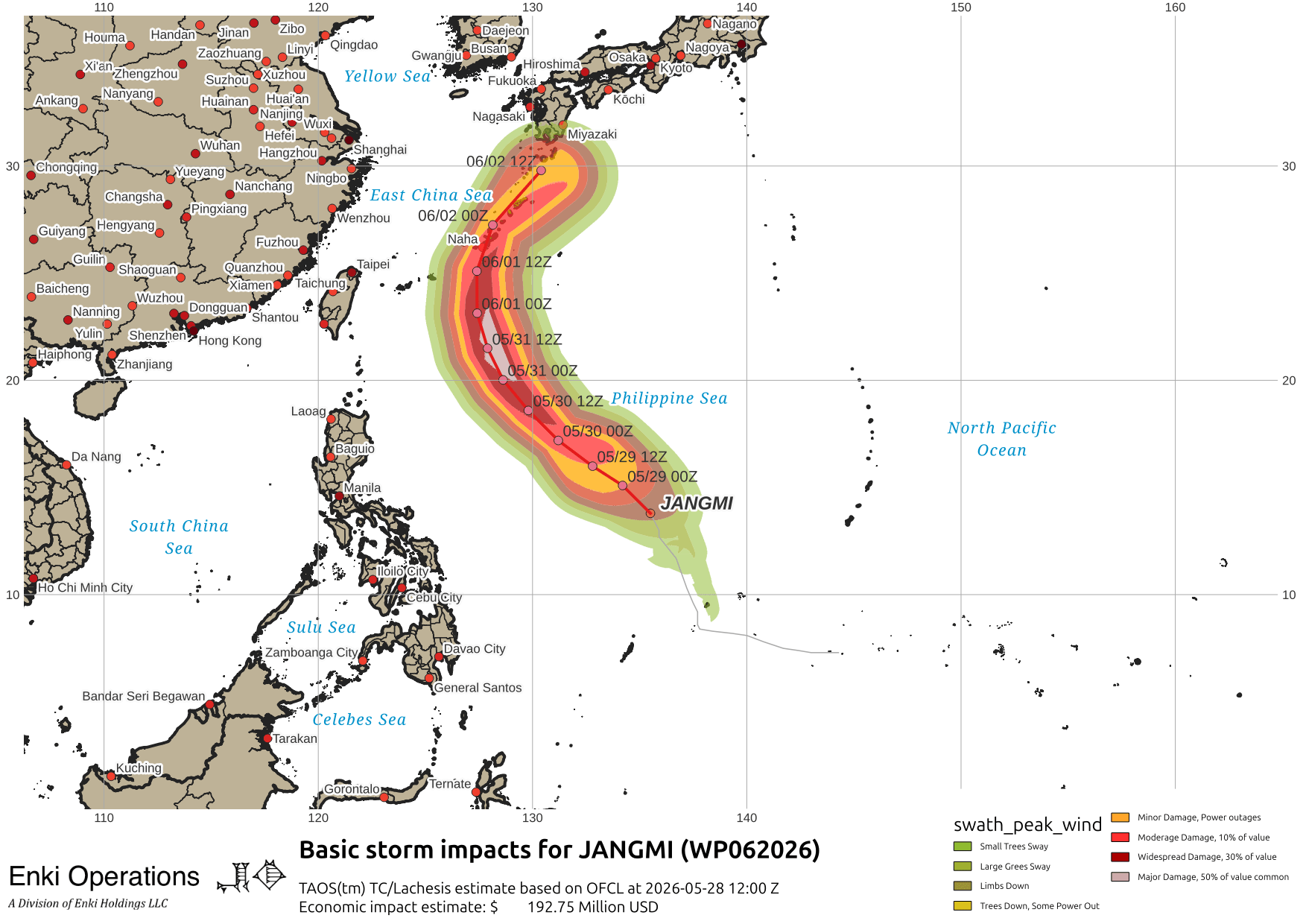
Tropical Storm Jangmi (WP062026) has formed and is forecast to become a Typhoon (hurricane) before sweeping over Okinawa and the other southern islands of Japan. Keep an eye on it if you are in that part of the world. Will update tomorrow.
In the East Pacific, NHC is watching an area for development. It’s sort of in the middle of nowhere right now …

Rain showers continue to come and go across the southeast, mostly avoiding midtown Savannah … we got 0.2″ this afternoon, but both east and west got well over an inch in places:

Despite the lack of rain, it has been horrifically humid. Working on a longer blog post on this, but the short version is we’ve been running 8 to 10 % above average in terms of daily average relative humidity. And, as noted before, our night-time lows just aren’t dropping – they have been above the 50 year max every day for the last week.