

TL;DR: conditions remain unsettled across the southeastern US, with some areas getting too much rain and others not enough. Medium chance of a tropical storm forming in the West Pacific in the next day or so.
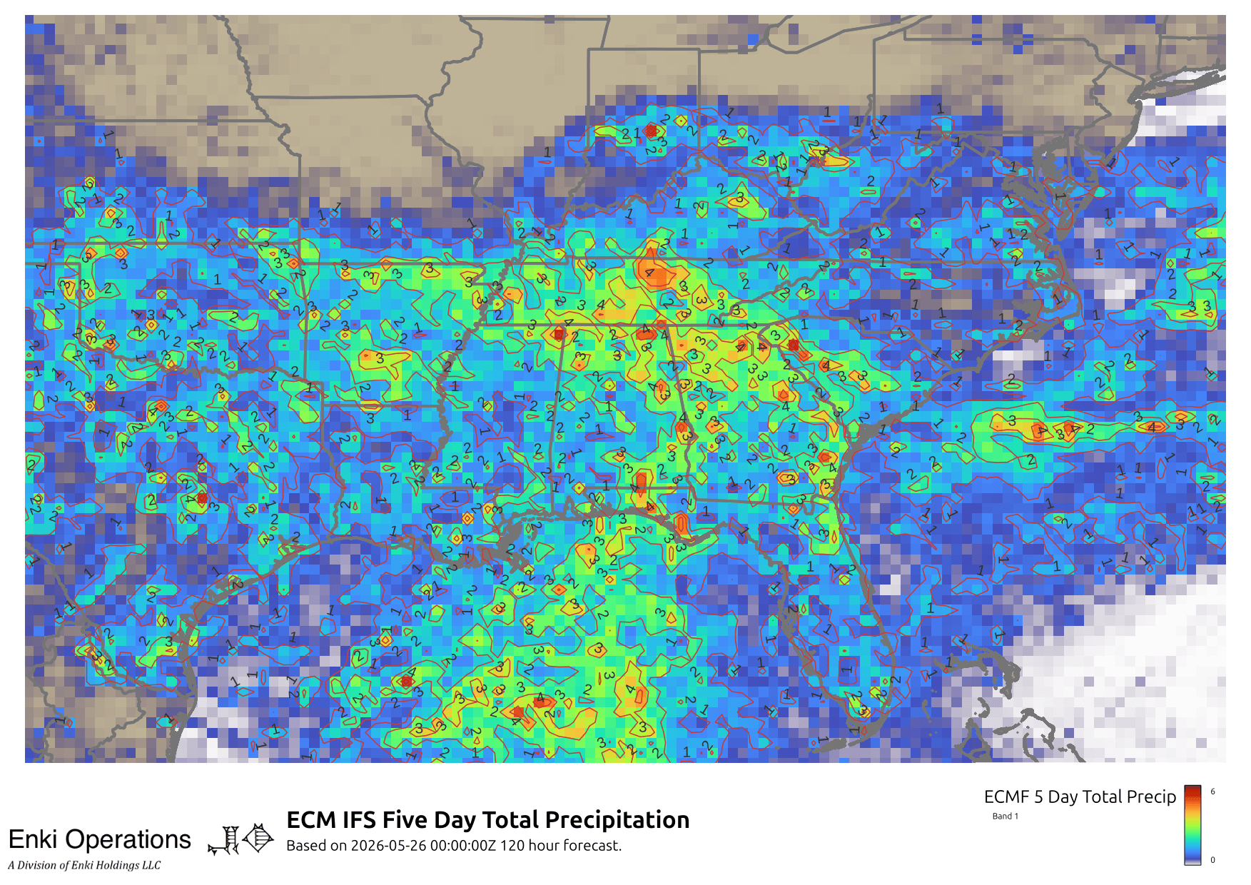
The complex system stalled over the southeast has dumped over 6″ of rain in places, yet here in Midtown Savannah just over 0.1″ over the last three days. More rain is on the way, here are the ECM and GFS forecasts for the rest of this week – click any image for the full size view.

There are flood watches over a large swath of the southeast this morning …

In terms of rain totals over the last three days, here’s the big picture:

Zooming in for coastal GA and the SC Lowcountry …

and here’s a closer view of Savannah with the contour lines labeled:

As you can see, what you got depends on where you are. You may have next to nothing, but literally a few blocks away might have seen over 1″, even 2″.
As the forecast maps above show, more on the way, likely to be very spotty (more like the ECM map than the smoother GFS presentation).
Tropical storm forming off the Philippines, looks to stay offshore for now. Should have a better analysis if/when it spins up.

If you appreciate the blog, the best way to get it is to subscribe to the emails. You can subscribe and also donate to keep it going at this link. Many thanks to those who have contributed to the blog!
You can also follow us on X/Twitter (@EnkiResearch), Telegram, BlueSky, or even Facebook if that is your preferred social media buzzkill. But be aware that social media algorithms don’t show you posts in chronological order, “upgrade” sensationalist material, and “downgrade” posts that have outside links in order to keep you on their platform.