

TL;DR: Two disturbances in the Atlantic and a tropical storm in the South China Sea. Lots of rain in the Frogmore Metroplex with more on the way.
NHC has stopped issuing advisories on Erin as the storm is no longer tropical and headed towards Greenland. The disturbance in the mid Atlantic (#1 on the Outlook, Invest area AL90, will become a tropical storm today or tomorrow and likely brush Bermuda. The other one, AL99 (#2 on the NHC TWO), is likely to remain a weak wave as it tracks across the Windward Islands. Here’s the outlook and global track maps … as usual, click any map to embiggen (see full size, for those not familiar with the English Language as specified in the OED 😛 ).


In the West Pacific, Tropical Storm Kajiki has spun up in the South China Sea and is headed towards Vietnam by way of Hainan Island (China) as the remnants of Lingling linger over southern Japan …
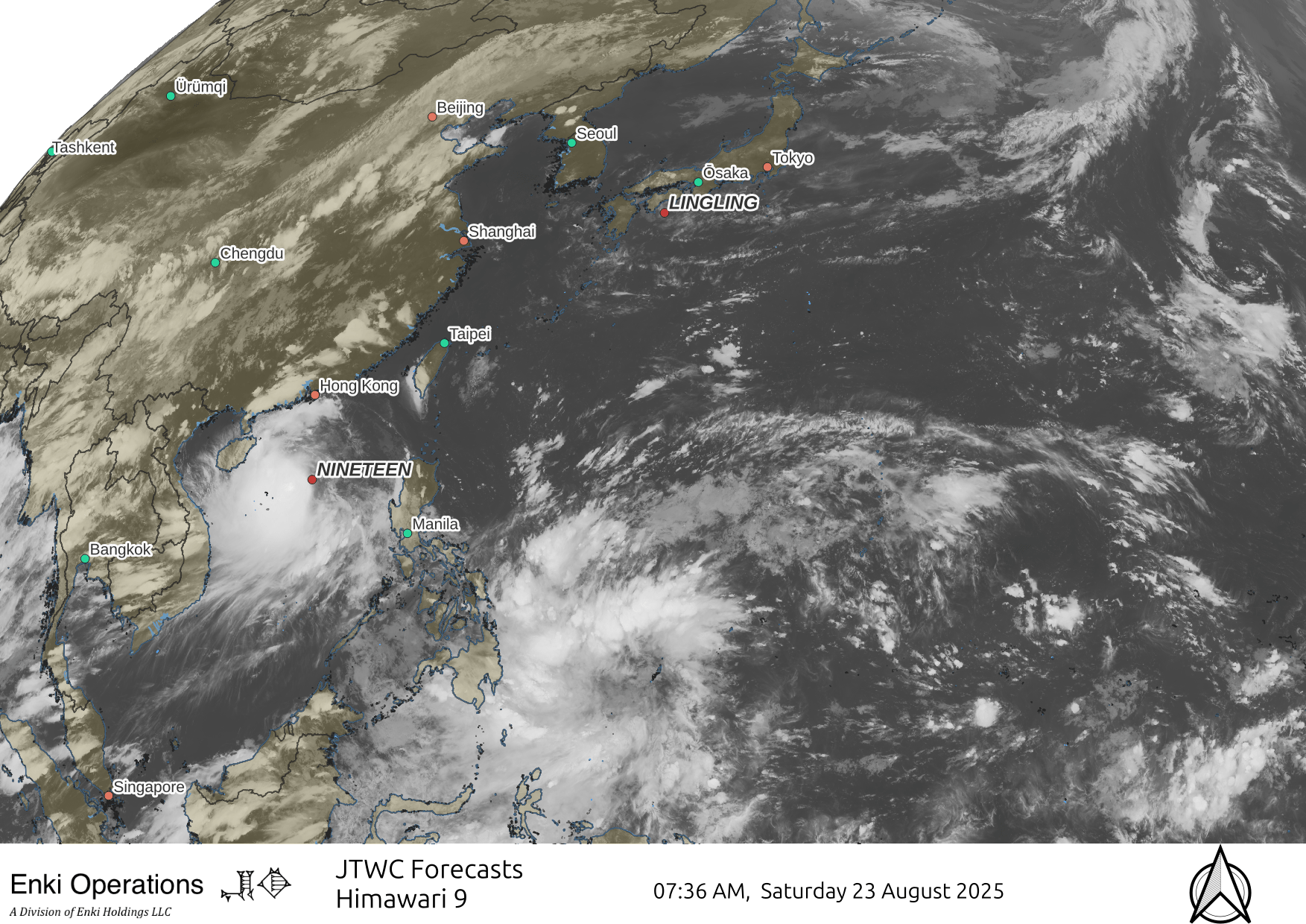
Kajiki will likely become a Typhoon in 24-36 hours, and could cause up to $500 million in impacts, as there will be 22 million people in the tropical storm wind swath, and nearly 500 million within the hurricane force wind field on this track. A particular problem could be flooding in Vietnam on this track.
Closer to home (mine, anyway), there has been a lot of rain over the last few days. Just in the last 24 hours there have been isolated spots with over 6″ of rain …

More is on the way over the next 36 -48 hours before it dries out Monday, so the usual spots have the potential to flood again if caught in a slow moving downpour.
A reminder that the best way to get this stuff is by email. You can subscribe to the emails (and/or donate to keep it going) at this link. You can also follow us on X/Twitter (@EnkiResearch), Telegram, BlueSky, or even Facebook if that’s your preferred social media Mordor.