

TL;DR: Tropical Storm Warnings are up for North Carolina, the DELMARVA peninsula, and Bermuda as Erin passes by today. Conditions should start to improve overnight and tomorrow, although most of the Atlantic shorelines will continue to experience heavy surf and rip currents through the weekend.
As usual your best overview of an active storm are NHC’s Key messages regarding Hurricane Erin (en Español: Mensajes Claves). Here is the current InfraRed satellite view, watches/warnings, and track forecast …

Not much to say/add at this point. There will by near tropical storm force winds with higher gusts in the warned areas today, by Saturday Erin will be off of Nova Scotia and Newfoundland (more properly called Vinland/Markland), generating some gusty winds and heavy wave action as it becomes extratropical. By Monday should be gone except for some residual waves.
Elsewhere in the Atlantic, there are two disturbances NHC is tracking in the outlook. The first, in the mid Atlantic, is given a 70% chance of spinning up. It should stay much farther offshore than Erin, probably only an issue for Bermuda. The models have the second, which is invest area AL99, taking a more southerly course into the Windward Islands and Caribbean Sea. GFS and ECM are not enthusiastic and lose tracking, the regional models carry a weak system into the islands over the next five days.
or the WordPress app
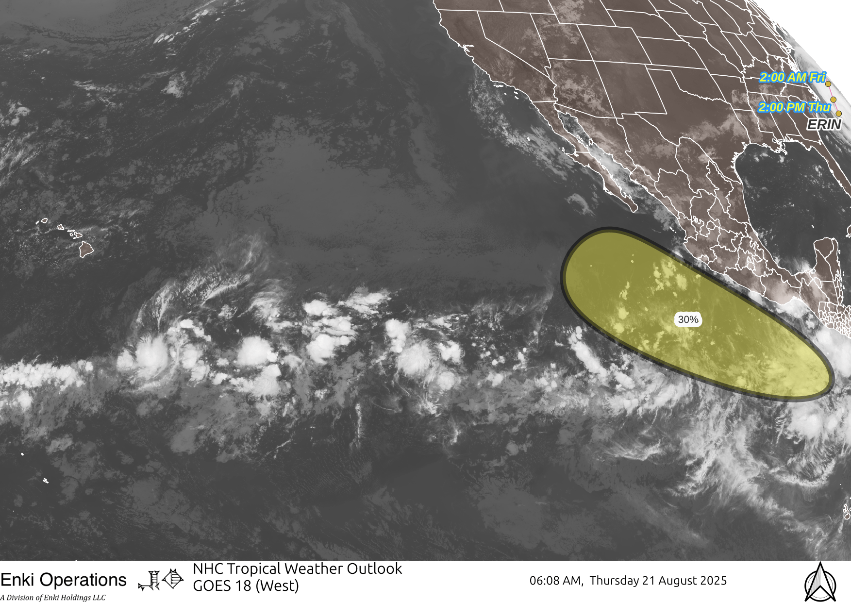
There is another disturbance off the coast of Central America that should stay offshore of Mexico.
In the West Pacific, tropical depression 18 is raining on southern Japan.

A reminder that the best way to get this stuff is by email. You can subscribe to the emails (and/or donate to keep it going) at this link. You can also follow us on X/Twitter (@EnkiResearch), Telegram, BlueSky, or even Facebook if that’s your preferred social media miasma.