

I haven’t posted about the blob-of-doom in the Atlantic since it’s headed out to sea even if it does spin up. NHC had it briefly at 40% but it’s now down to 10% …


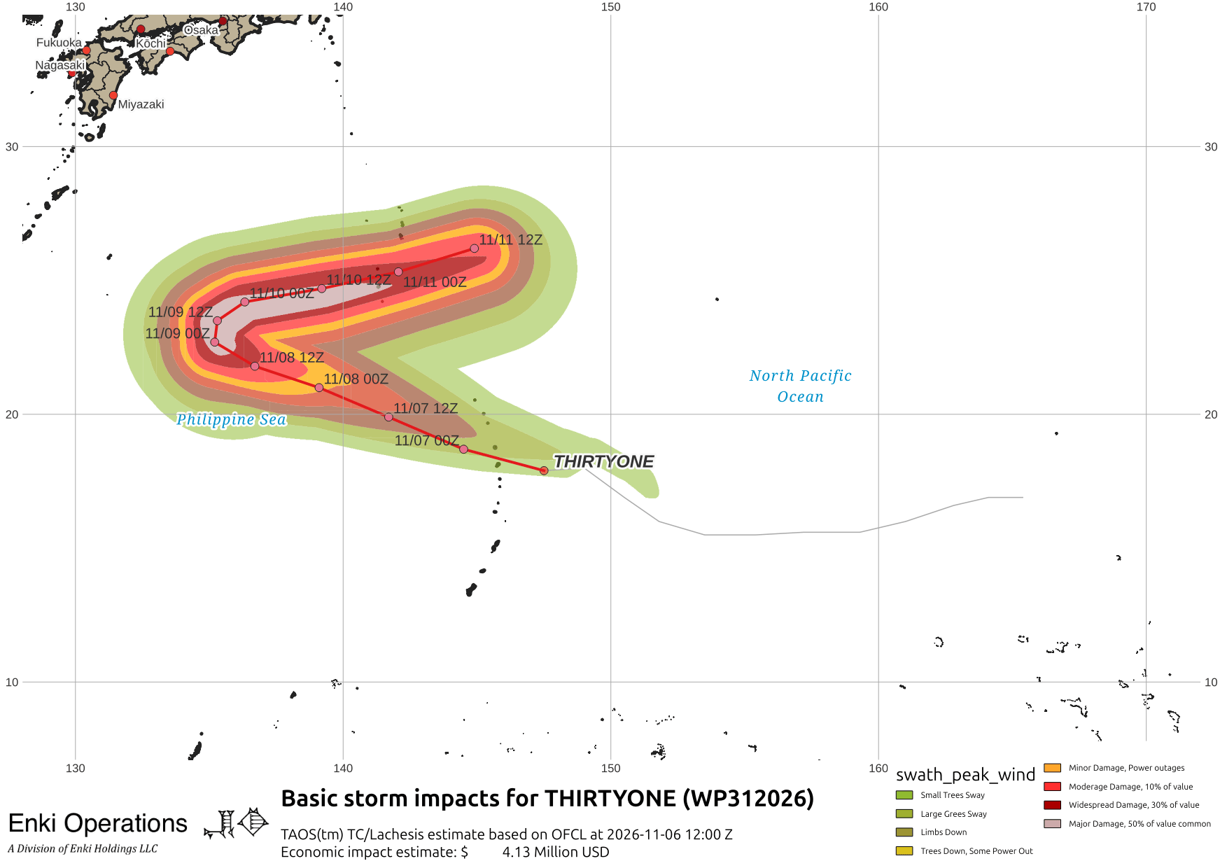
There’s also a storm in the West Pacific, Tropical Depression 31W, that is expected to re-curve out to the north well east of Japan.
We’re starting to see some of that El Nino moisture streaming across the southern United States, possibly contributing to the serious flooding in North Georgia this week. There was a swath of very heavy rain across the area north of Atlanta and east of Chattanooga …

Unfortunately that rain probably won’t reach the coast in quantity. Here’s the current (2:30pm) radar …

Even though we got above average rain last month, and the deep soil moisture has recovered somewhat from the spring drought, the timing on rain events has not been favorable. Here’s the surface (upper 6″) soil moisture plot from near Daffin Park. Unfortunately, most of the area is back in to at least mild drought conditions …
