

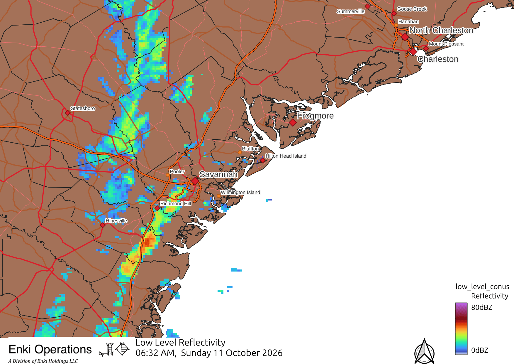
The band of rain that set up on/near the GA/SC coast continues this morning, with a cluster of thunderstorms moving up the coast that may cross over/near Savannah …
I’m hearing thunder in Savannah, and the satellite is detecting flashes and lightning risk:

Rain totals so far are below forecast, the heaviest stayed offshore …

Although generally speaking the impact of Isaias (and the associated frontal system it supersized) was not as bad as forecast, that’s little consolation for folks in Screven County GA and Allendale County SC. A tornado passed through associated with this setup; damage surveys will get underway today to assess the type and size of the tornado. Unfortunately, and unfairly, this will be classified for insurance purposes as part of Isaias meaning they will get hit with higher “named storm” deductibles. Our insurance system is in dire need of reform (link to rant).
This is a great example of one of the dilemmas of natural hazards forecasting. How do you prevent overwarning, yet convey there is a chance a few people might get hurt? How to balance the overall risk (which was low) with the risk that a small area might have significant impacts? The media reaction is to hype it 24/7 – my tendency is to note the risk but not overemphasize the high end risks (while, hopefully, cautioning you need to have a weather radio for warnings!).
It’s a tough call.