

TL;DR: Indications that Lowell track may be shifting to the west, which would be great. Still watching the West Pacific, where tropical storm Krovanh is doing a loop around Okinawa and dumping a lot of rain on Japan. Atlantic/Gulf quiet.
The main tropical cyclone threat to land today is to Western Hawaii from hurricane Lowell. Here is the link to the Central Pacific Hurricane Center (CPHC)’s Key messages regarding Hurricane Lowell (en Español: Mensajes Claves), and here is the latest estimated damage swath using my TAOS(tm) TC model, based on the official track:
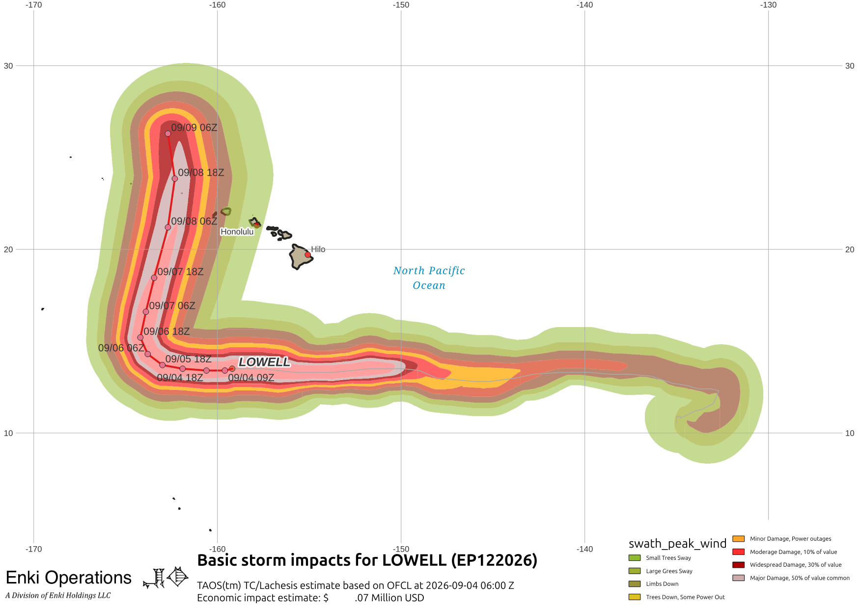
It still has Kauai in the damage swath, but the tracking trends are to the west. As CHPC notes in their latest discussion, still uncertainty as to where the turn will happen. Here is an overview of the East Pacific right now, including the other two hurricanes (Marie and Karina, that’s aren’t threats other than waves):

Side note: no, the black blob at the top right isn’t a UFO passing in front of the satellite 😛 … it’s an automatic sun-shade that protects the imaging sensor on the satellite when the sun is too close to the line of sight. This happens twice a year, in March and September, near the spring and fall eqinoxes. A lot of data providers just use an older image and don’t use views that are partially blocked, so many of the weather bloggers and even TV meteorologists never even notice these. I could easly mask it or do thesam, but I use them in part because it’s one of the many factors that “real” scientists have to deal with, and (I hope!) it helps you appreciate that this stuff is complicated, and the difference between using raw data direct from the satellites and using third or fourth hand information.
Bottom line is that things are looking better, but those in or planning a trip to the Islands next week need to be wary.
Further west, Tropical Storm Krovanh is doing a loop over Okinawa. Here’s the track overview, where you can see it potentiall intercting with another storm trying to brew up (Invest WP97) …

But the storm is only part of the story. Much of Japan is under a frontal boundary that is being energized by moisture from the storm, resulting in a lot of rain. That is triggering landslides and flash flooding across southern and central Japan. Some parts of the country have already had double the average amount of rain for September … and it’s only the 4th! While winds aren’t much of a problem from this collision of systems, rain will continue.
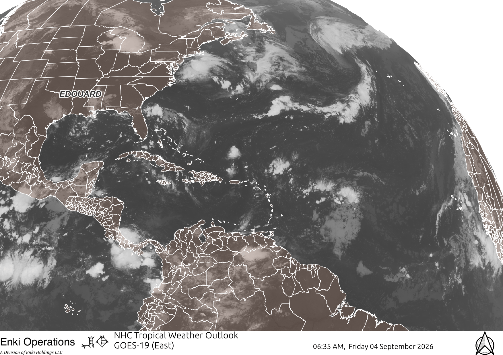
Now that Edouard has rained out, nothing in the Atlantic forecast for a week or so (which is as far out as we can reliably forecast).
Facebook and X keep screwing with the algorithms and downgrading or even blocking outside links again, and I don’t want to waste time copypastaing suff across multiple platforms (and am not going to bother to program an AI to do it either). If you appreciate the blog, the best way to get it is to subscribe to the emails. You can subscribe and also donate to keep it going at this link. Many thanks to those who have contributed to keep the blog going!
But if you insist you can still sort-of follow us on Musk’s Madhouse X/Twitter (@EnkiResearch), Telegram, BlueSky, or even Fakebook if that is your preferred social media quagmire, keeping in mind that they “upgrade” sensationalist material, and “downgrade” posts that have outside links in order to keep you on their platform, so it’s not a great way to get weather warnings or news (or anything other than a variety of psychiatric symptoms for that matter).