

The US launched a series of attacks in Venezuela early this morning, apparently in coordination with some kind of coup or “stand down” order by senior leaders of the Venezuelan military. Here’s the view at midnight, with the Orinco oil fields clearly visible as the bright area in the middle right, gas flares noted in colored dots …

We’ll see how this goes, early reports are always incomplete or outright wrong, so beware “breaking news” and “insiders say.” There are far more questions than answers at this point, especially the status of the government, military, and what might happen next is very much an open question. The US is pretty good at “shock and awe” raids against third tier powers, but long term stability is something it has failed at elsewhere (Afghanistan, Syria, Libya, Iraq …). I wouldn’t be surprised if the Administration declares victory and walks away from a mess, given the potential conflict with Iran back on the table, looming war in Europe, Taiwan, etc. But time will tell.
The system moving through the Southeastern US has brought drizzle to the Savannah area, the heavier rain passed just north of Frogmore overnight. Here’s the rain totals so far:

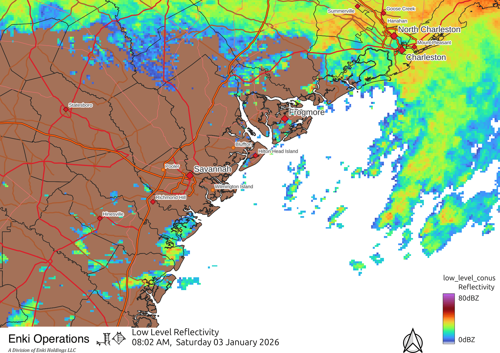
There is rain north and offshore, but at the moment (8am) not a lot nearby:
Coastal GA might get a heavier band later this afternoon, the HRRR model says about 2-3pm. Again, we’ll see. There is a band of drier air across Georgia as can be seen in the water vapor image below, we’ll see if the moist air over the GA/AL/FL border can stream far enough north to support significant, and muchly needed rain.

I am new to your posting. My son who has been following you for you for while says you are the most accurate on storm forecasting and I think I agree. My only comment so far is can you extend you graphics (maps, illustrations) to cover the Golden Isles. You come very close but just a few more miles south would do it.
Thank you
Hal Hart
Brunswick/St. Simons/ Jekyll
Well, that’s a bit beyond the proper bounds of the Frogmore Metroplex proper, but I’ll see what I can do …
I love your weather reports but really wish you’d leave out the politics.
It never ceases to amaze me when people tell Enki to “stick to the weather” whenever geopolitics is mentioned.
Do people subscribe to the blog without ever reading the easily accessible “about” section on the website? Do they just assume that the person/people behind Enki are meteorologists?
Even if they don’t feel the need to do that when subscribing, I can’t imagine making a comment like that without first doing the bare minimum to understand who exactly it is I am demanding “stick to the weather”.
Residents of Frogmore like me are incredibly blessed to have Enki provide us with detailed scientific information on a number of topics (including the weather) for free. The people behind Enki are more than qualified to weigh in on geopolitics.