

More Monday than usual today so this will be brief … the disturbed area in the Atlantic (Invest AL95) is tagged at 70% chance of formation over the next week in the NHC Tropical Weather Outlook …

We now have the results of dedicated computer track models, they show a possible storm skirting the Leeward islands (and NHC’s TWO wisely suggests those in the Islands “monitor”, which means checking back daily to see how this evolves), maybe some threat to Bermuda in a week or so, but minimal risk to anybody else …

GFS is enthusiastic, spinning up a major hurricane, but the ECM models are less so, with the ECM AIFS (AI driven, using AI, so it’s got AI in it because AI!) has a disorganized wave hear Antigua on Thursday. The lack of consensus is probably why NHC only has it at 70%.
In the East Pacific, a tropical storm watch is up for the west coast of central Mexico as Priscilla skirts the coast. Baja may get watches in a day or so as the storm curves offshore …

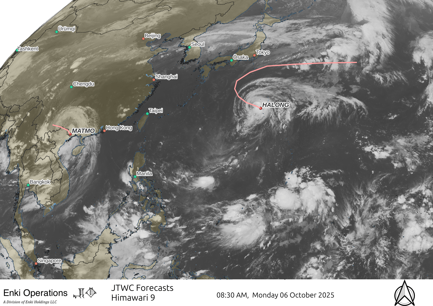
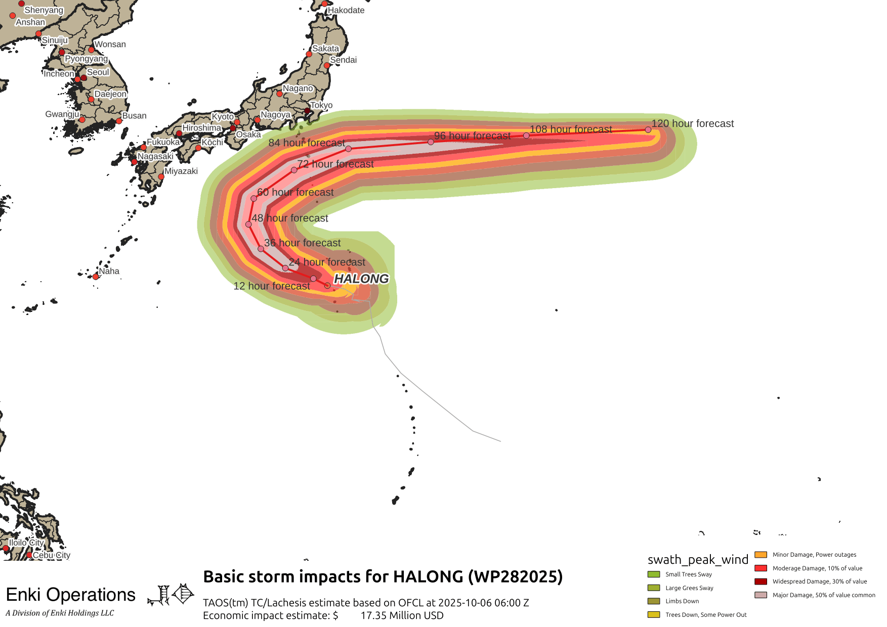
In the West Pacific, Matmo is raining out over south China/northern Vietnam, Halong looks to stay just offshore from Japan as it encounters a front across the Islands and curves away from land …
Here’s the forecast impact swath:
Thank you!