

TL;DR: For once, life is simple: If it’s beyond 7 days, it’s click-bait. If it’s either not on the NHC Tropical Weather Outlook (TWO), or the TWO doesn’t have magic words (“Interests somewhere should do something“) and your somewhere isn’t mentioned, don’t worry. If you are somewhere, then do something.
Here’s NHC’s TWO on the GOES-East IR as of Friday morning August 8th 2025 (IR since the sun isn’t up over most of the US yet):

Nothing really to worry about. Here’s the same for the East Pacific, Tropical storm Ivo is moving away from Mexico, might cause rain on the southern tip of Baja, Henrietta will be too far from Hawai’i to cause problems (and probably not much in the way of waves either):

Lots of scary model graphics going around, with the usual suspects picking and choosing the model and run that will garner the most clicks.
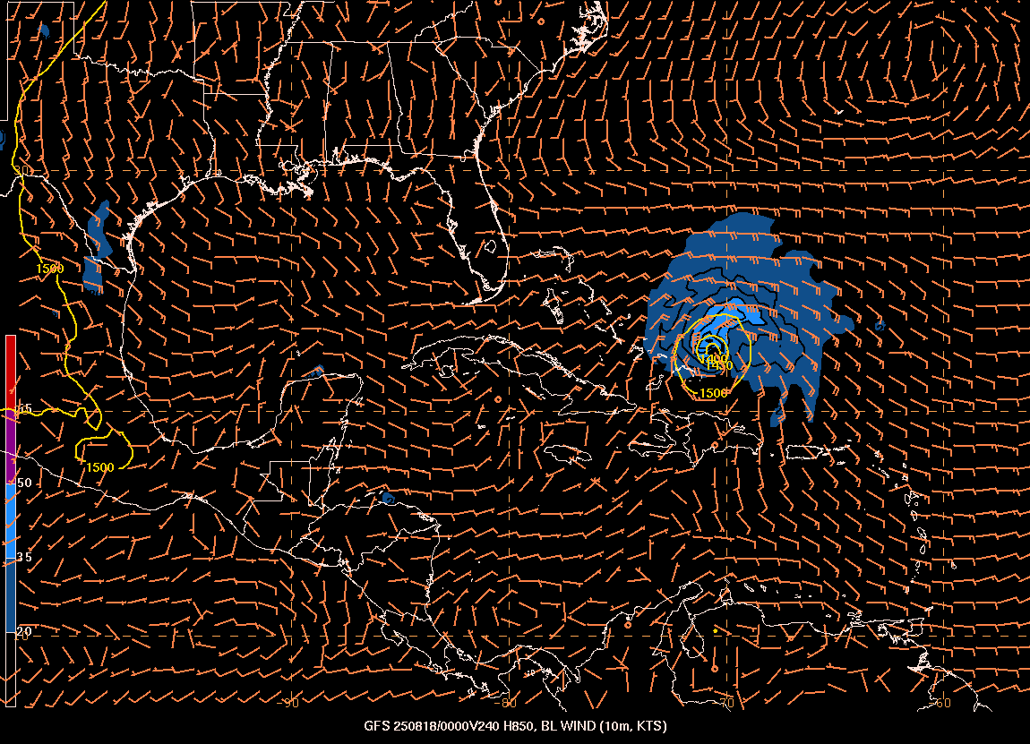
Follow the above advice and you’ll not need so much Xanex. If you don’t know what the magic words are, start with this post.